L13 Hike: Le Mourre Nègre, south side
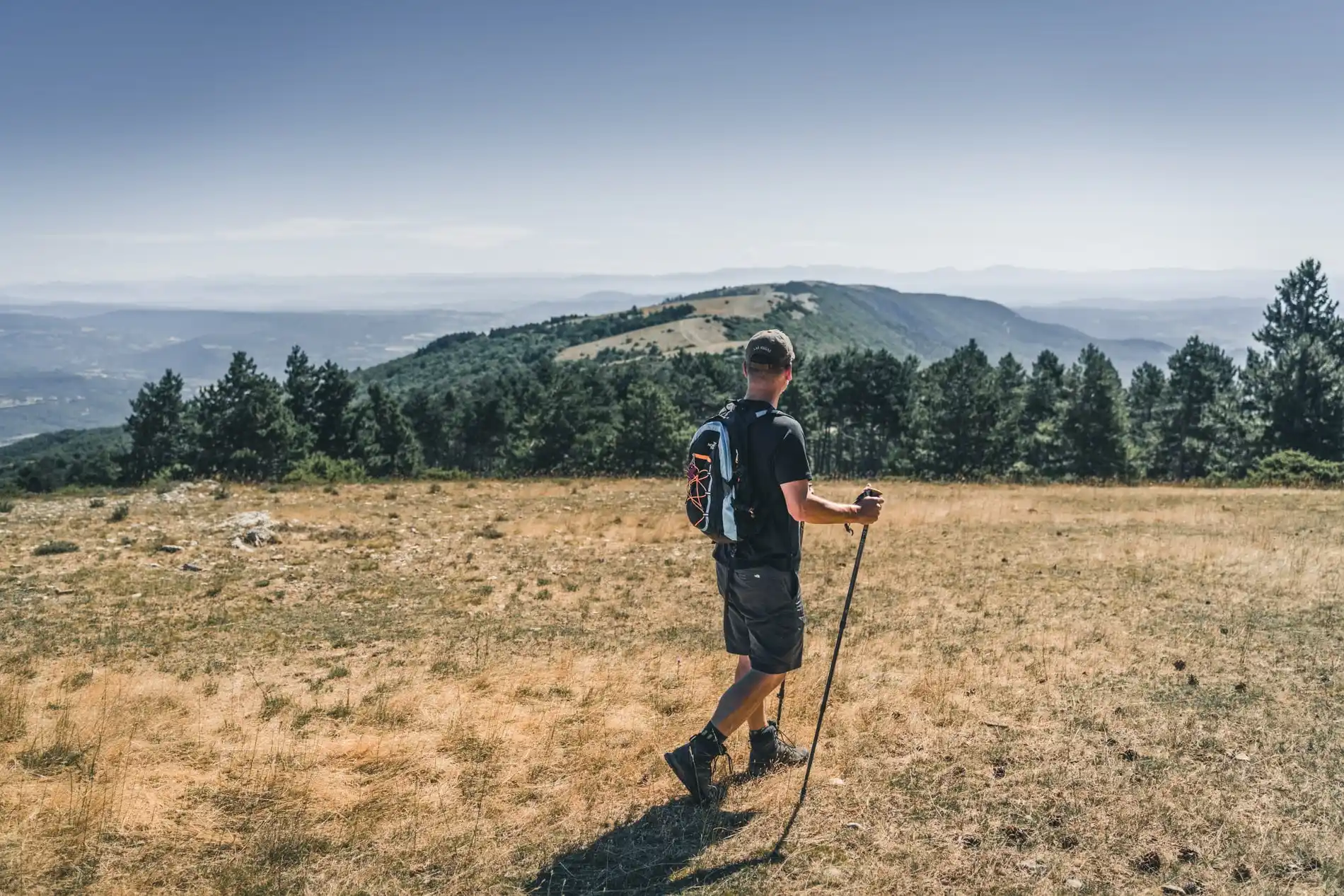
Ascension is athletic but quite rewarding once on the ridges.! From up there, you will see why the Luberon is ‘Big’…
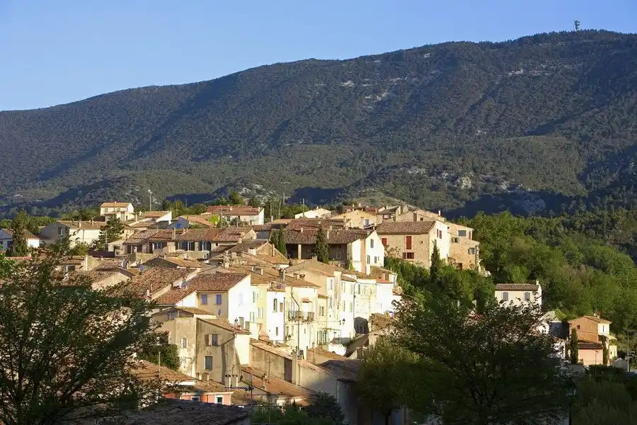
From the town hall, go up the street on the right, then take a left at the fountain. Turn right until the crossroads “Cime de Vière”. Take the track to the massif along the farmlands. 350m after a left turn, reach a collar and continue straight onto the track.
1 – At the crossroads”The Couleron” (point 586), leave the geological trail on the right and climb the left track (GR.). After a series of winding paths, you finally reach the highest ridges.
2 – At the crossroads “La Basse de Cabrières”, take a left and reach the antenna, the highest point of the Grand Luberon. At the top of the Mourre Nègre (1 125m), turn around and return to point 2. From here, continue straight on the ridges and cross five hills.
3 – At the crossroads “Gros Collet”, leave the GR and switch right on the trail (RP). 450m down, continue straight and hurtle down the slope under the forest cover until the Draille de Roche (point 609).
4 – Turn right, move forward 10m and turn left just after the tank. Down the trail, go back on the track and continue down to reach an asphalt road. Continue straight for 1.5km leaving the geological trail half-way, on the right.
5 – 20m before the crossroads “Les Vaucèdes”, turn right and go down the trail to the creek. Follow the riverbed to the right for 100m and climb the steep path on the left. Go around the field and continue right up the track. Get to the road and continue straight, then head right back down to the left, at the starting point.
Location details
At 11km from Pertuis (A51), on the D9.
Parking : 8 mai 1945 parking lot, below the town hall.
- Town location
- Close to GR footpath
- Overview on river
- View over the vineyards
- Mountain view
- Village centre
Détail du parcours
Route typeLoop
Iitinéraire baliséMarked route
Markup accuracy– Balisage blanc/rouge (GR)
– Balisage jaune (PR)
Positive elevation897 m
Maximum elevation1121 m
Type of terrain Not suitable for strollers, Stone, Grit, Hard coating (tar, cement, flooring), Ground
Delicate passages– After point 1: steep climb to the ridges.
– Between points 3 and 4: Caution with your ankles in the descent.
– After point 5: tricky passage of the ravine after a violent storm.
Topoguide referencesDiscover this hiking on Chemins des Parcs :
https://www.cheminsdesparcs.fr/trek/26205-CABRIERES-D-AIGUES—Le-Mourre-Negre,-cote-sud
Updated on 30/06/2026
By Sud Luberon Tourisme