Grande Traversée de Vaucluse en VTT Etape 8 -B – De Vitrolles en Luberon à Lauris
Niveau : Difficile
Parcours : 49 km
Balisage : VTT-FFC rouge
Rendez-vous au parking : Col de l’Aire des Mascas, sur la D33, 4 km après Vitrolles en Luberon.
Autour du Mourre Nègre, point culminant du Luberon, ce tronçon se révèle un régal, pour celles et ceux qui auront le physique et la technique pour l’apprécier. Le tracé continue par un secteur qui ne manquera pas d’être apprécié par forte chaleur, grâce au magnifique vallon encaissé et verdoyant de l’Aiguebrun.
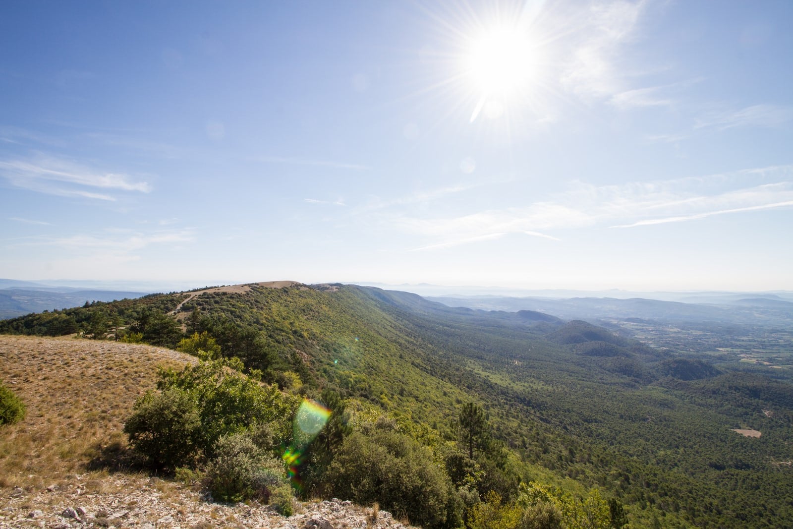
Après un démarrage brutal depuis Vitrolles-en-Luberon, vous cheminez sur les larges crêtes et les pelouses steppiques du Grand Luberon. A partir de celle belle piste, vous aurez alors le temps de profiter des vues panoramiques sur la mer au sud et sur le Mont-Ventoux au nord. Les plus affûtés peuvent emprunter le GR qui suit les crêtes en parallèle. Et si vous avez encore les jambes, vous pouvez par un petit aller-retour atteindre le Mourre Nègre (1 125 m.), sommet du Grand Luberon, avant de plonger sur le versant nord et sa chênaie pubescente. Le splendide monotrace parfois étroit et caillouteux mérite toute votre vigilance. Par le très joli sentier en balcon de Marauvière, vous rejoignez Auribeau, puis le vaste plateau des Claparèdes et son cortège de champs de lavandes et de bories en pierre sèche. En point final, Sivergues, village du bout du monde évoqué par Henri Bosco.Après Sivergues, vous descendez dans le magnifique vallon encaissé et verdoyant de l’Aiguebrun, par un sentier rocailleux puis plus doux ensuite. Vous passez à proximité des spectaculaires falaises d’escalade puis au pied du Fort de Buoux. Il faudra ensuite remonter non sans effort sur le plateau pour rejoindre Bonnieux et don dédale de ruelles, étroites comme une échelle. De là, vous changez de massif, pour gravir par une succession de pistes et sentiers rocailleux, les flancs du Petit Luberon. Quelques beaux mas et grandes propriétés ponctuent ce parcours de carte postal. Enfin, par une très belle descente en monotrace, sauvage et exigeante, vous basculez sur Lauris.
Réglementation du risque incendie.
L’accès aux massifs forestiers est réglementé en période estivale (Juin à Septembre) par arrêté préfectoral. Contactez la borne d’appel au 04 88 17 80 00. En cas d’incendie, alertez les pompiers : 112
Location details
- En forêt
- Vue montagne
- En montagne
- Isolé
- Itinéraire G.R. à moins d'1 km
Détail du parcours
Route typeRound trip
Signposted routeMarked route
Positive elevation1125 m
Negative height difference1370 m
Maximum elevation1060 m
Type of terrain Rocher, Cailloux, Terre, Revêtement dur (goudron, ciment, plancher), Gravillons
Topoguide referencesTopoguide VTOPO de la Grande traversée VTT de Vaucluse.
http://www.vtopo.fr/vtt-itinerance-grande-traversee-de-vaucluse.html
Parking Col de l'Aire des Mascas
D33
84240 Vitrolles-en-Lubéron
Mis à jour le 07/08/2024
Par Sud Luberon Tourisme
test